40.7589° N · 73.9851° W
Woodwake
Photograph the stump. Remember the tree.
A quiet museum of vanished trees — map the remnant, keep the story of what stood before the cut.
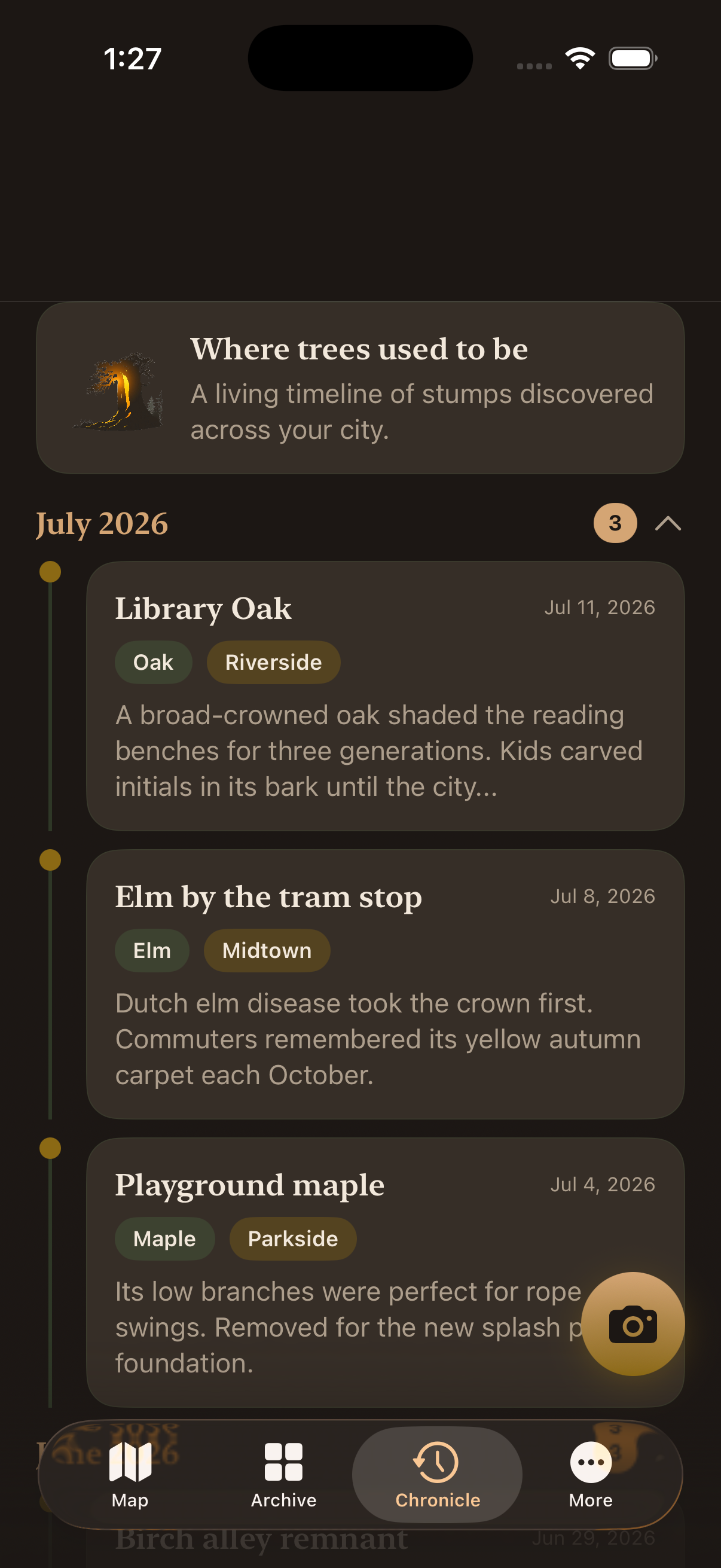
Where trees used to be
Urban stump atlas
Pin stumps with GPS, attach a photo, and write the memory of the canopy that is gone — species, age, rings, and neighborhood.
Field notes
Three growth rings of the app
-
01
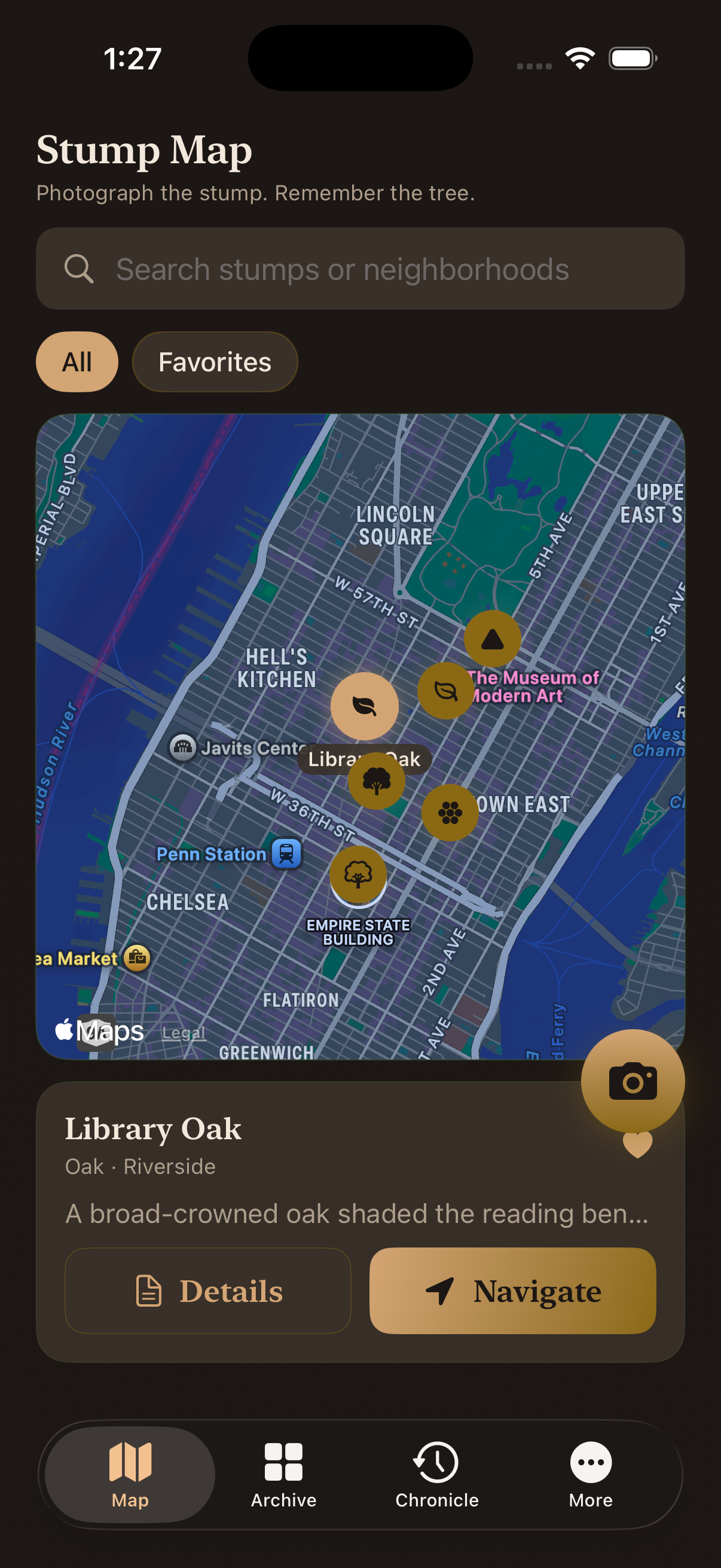
Stump Map
Pin every remnant with GPS so your city keeps a living atlas of vanished trees.
-
02
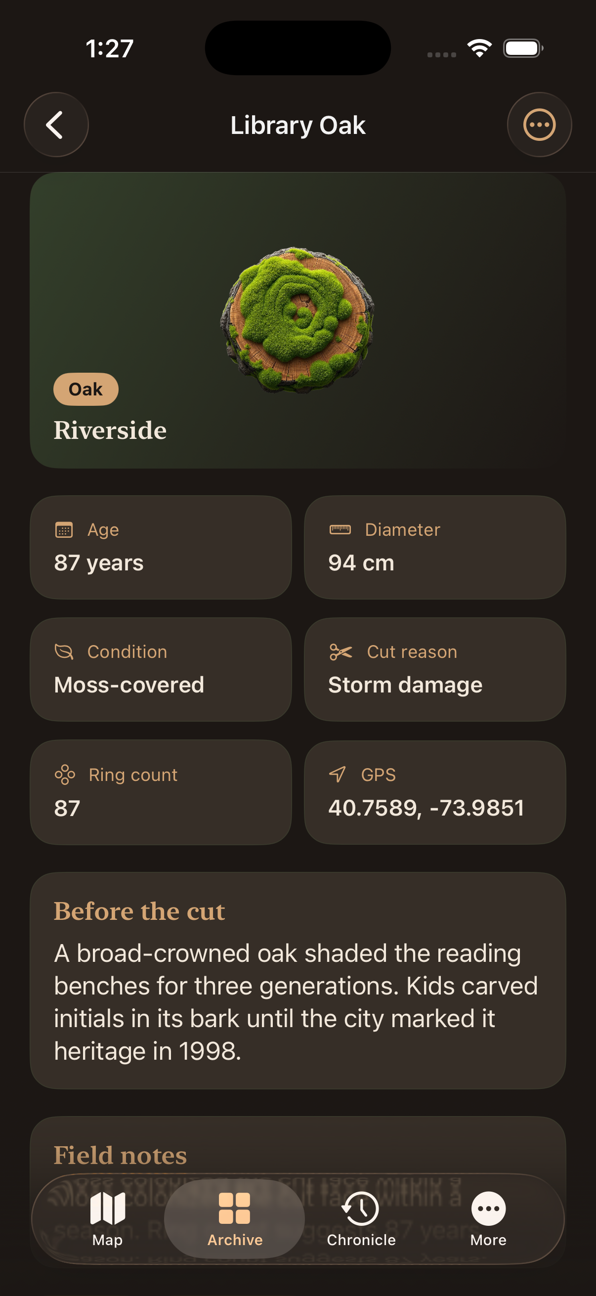
Before the cut
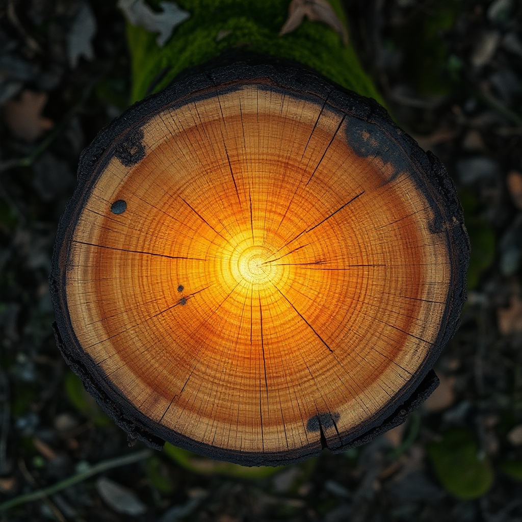
Log species, age, rings, and the story of what stood there before the saw.
-
03
Chronicle & archive
Browse discoveries on a timeline, search the museum grid, and keep favorites close.
Specimens
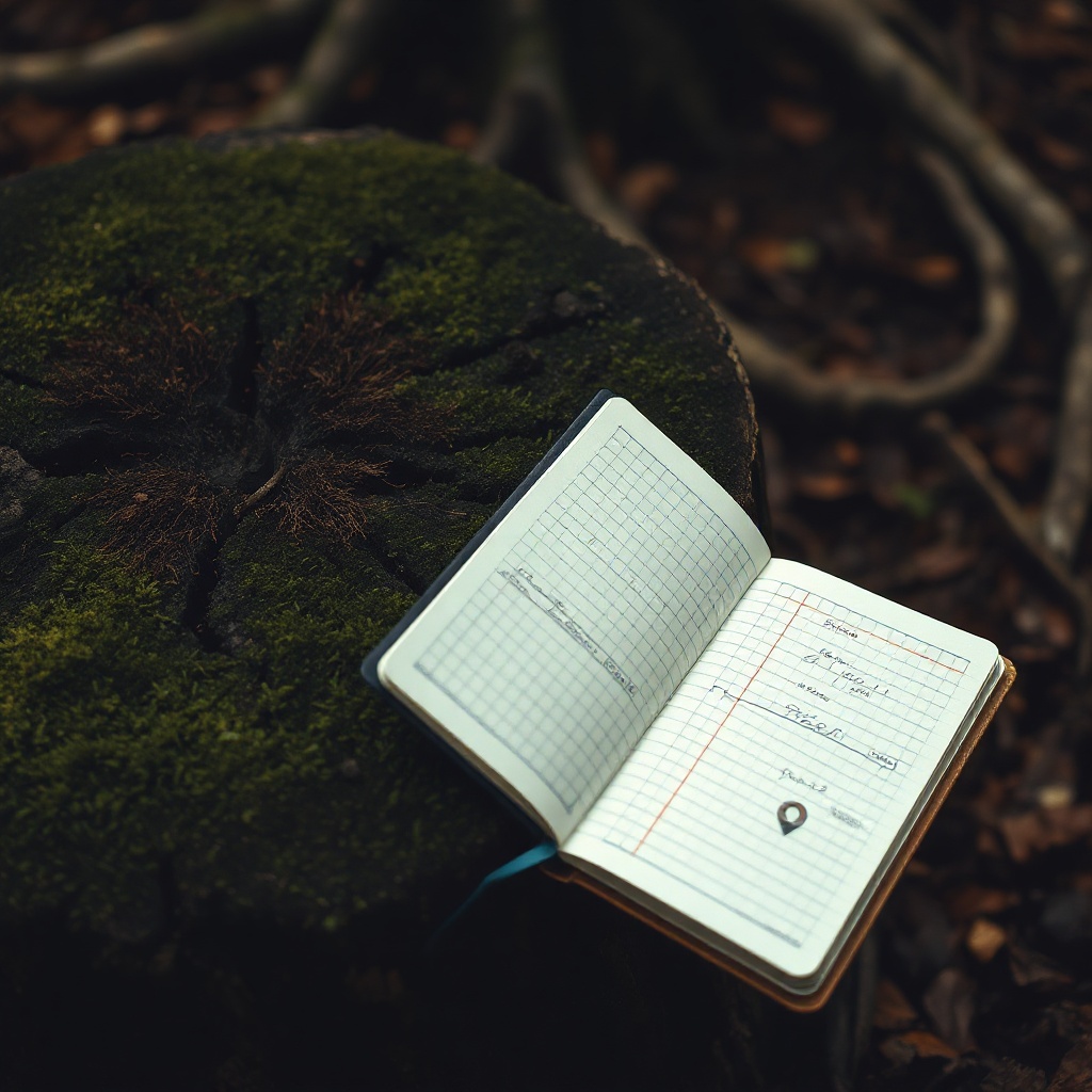
From the field journal
Legal
Privacy Policy
Last updated: July 16, 2026
Overview
Woodwake is a local iOS app for documenting urban tree stumps with photos, GPS pins, and stories. This Privacy Policy explains how information is handled when you use Woodwake.
Information we collect
Woodwake does not require an account and does not operate a backend that collects your personal data. Content you create in the app — stump titles, stories, photos, coordinates, and preferences — is stored on your device.
Location
If you grant location permission, Woodwake uses your location only to help pin a stump on the map while you are logging an entry. Location is not uploaded to our servers.
Photos & camera
Camera and photo library access are used only when you choose to attach an image to a stump record. Images remain on your device unless you share them yourself through the system share sheet.
Data retention & control
You control your archive. Deleting a stump or clearing records in Settings removes that information from the app’s local storage on your device.
Children
Woodwake is not directed at children under 13. We do not knowingly collect personal information from children.
Changes
We may update this Privacy Policy from time to time. The “Last updated” date at the top of this section will change when we do.
Contact
Questions about privacy: ceobreteagleston@breadeaglesproductionsllc.org
Help
Support
Need help with Woodwake, permissions, or your stump archive? Email us and we will get back to you as soon as we can.
ceobreteagleston@breadeaglesproductionsllc.org